Travel Guide of Government Camp in United States by Influencers and Travelers
Government Camp is an unincorporated community and census-designated place located in Clackamas County, Oregon, United States, on the base of Mount Hood and north of Tom Dick and Harry Mountain.
The Best Things to Do and Visit in Government Camp
TRAVELERS TOP 10 :
- Timberline Lodge and Ski Area
- Trillium Lake
- Ramona
- Mount Hood
- Mt. Hood National Forest
- Mount Hood Meadows
- Little Crater Lake
- Tamanawas Falls
- Timothy Lake
- Lost Lake
1 - Timberline Lodge and Ski Area
7 km away
Timberline Lodge ski area is the ski and snowboarding area of Timberline Lodge, a National Historic Landmark in the U.S. state of Oregon. It is one of a few ski areas in the United States with most of the skiable terrain below the main lodge.
Learn more Book this experience

2 - Trillium Lake
Trillium Lake is a lake situated 7.5 miles south-southwest of Mount Hood in the U.S. state of Oregon. It is formed by a dam at the headwaters of Mud Creek, tributary to the Salmon River. It was created by the state Department of Fish and Wildlife in 1960.
Learn more Book this experience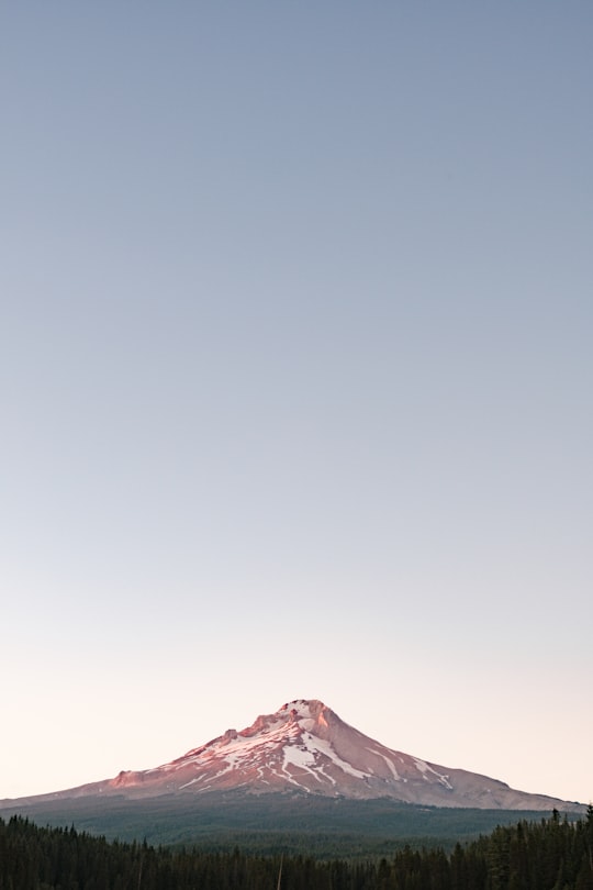

3 - Ramona
9 km away
Ramona Falls is a waterfall on the upper Sandy River on the west side of Mount Hood, Oregon, United States. It is located in forest along the Pacific Crest Trail at an elevation of 3,560 feet.
View on Google Maps Book this experience
4 - Mount Hood
9 km away
Mount Hood is a potentially active stratovolcano in the Cascade Volcanic Arc. It was formed by a subduction zone on the Pacific coast and rests in the Pacific Northwest region of the United States.
Learn more Book this experience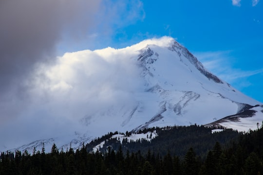

5 - Mt. Hood National Forest
7 km away
Learn more


6 - Mount Hood Meadows
6 km away
Learn more

7 - Little Crater Lake
14 km away
Little Crater Lake is a spring-fed lake in the Mount Hood National Forest in Clackamas County, Oregon, United States. It is named after Crater Lake, also in Oregon.
Learn more Book this experience
8 - Tamanawas Falls
19 km away
Learn more


9 - Timothy Lake
20 km away
Timothy Lake is a lake about 50 miles southeast of Portland, Oregon, United States. It is in proximity to Clear Lake and an impoundment of the Oak Grove Fork Clackamas River.
Learn more Book this experience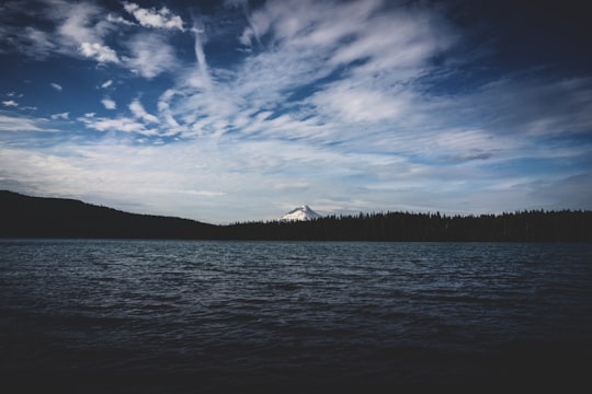
10 - Lost Lake
21 km away
Lost Lake is a lake in Mount Hood National Forest 16.2 kilometres northwest of Mount Hood in Hood River County in the U.S. state of Oregon. It is 34.4 kilometres southwest of Hood River, a 26.4-mile drive. The lake is bounded on the east by 4,468-foot Lost Lake Butte and on the southwest by 4,556-foot Preachers Peak. The lake is fed by three unnamed intermittent creeks from Lost Lake Butte, and Inlet Creek from Preachers Peak.
Learn more Book this experience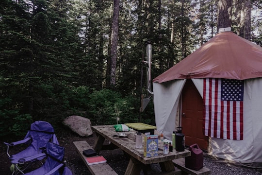

11 - Waterfall
32 km away
Learn more

12 - Punch Bowl Falls
42 km away
Punch Bowl Falls is a waterfall on Eagle Creek in the Columbia River Gorge National Scenic Area, Oregon, United States. Eagle Creek drains into the Columbia River, with its outlet on the Columbia River Gorge in Multnomah County.
Learn more Book this experience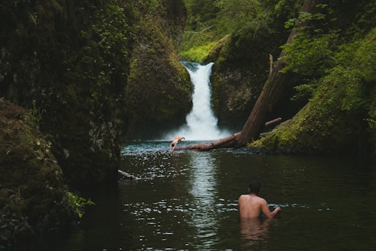
13 - Oneonta Gorge
43 km away
Oneonta Gorge is a scenic gorge located in the Columbia River Gorge area of the American state of Oregon. The U.S. Forest Service has designated it as a botanical area because of the unique aquatic and woodland plants that grow there.
Learn more Book this experience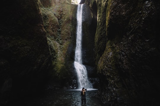
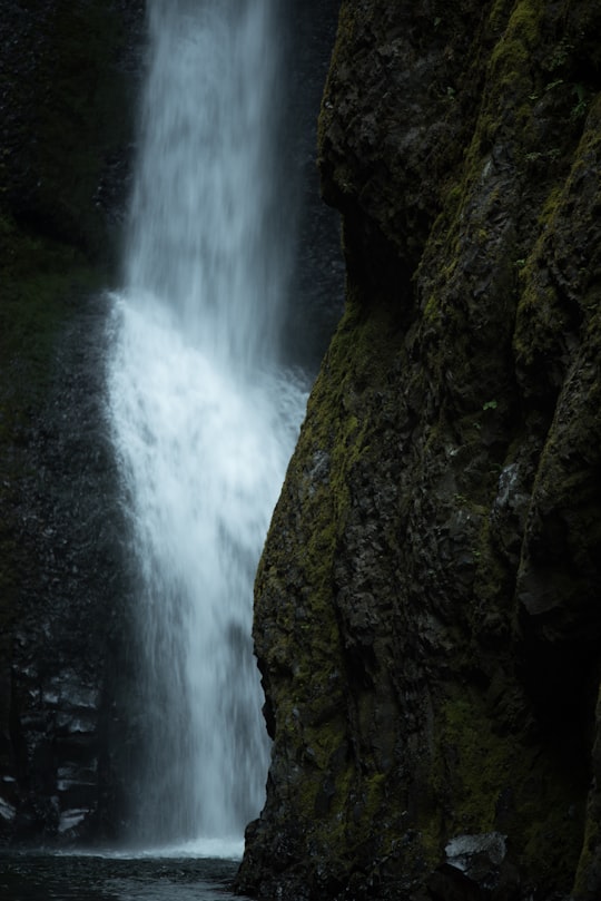
14 - Multnomah Falls
45 km away
Multnomah Falls is a waterfall located on Multnomah Creek in the Columbia River Gorge, east of Troutdale, between Corbett and Dodson, Oregon, United States. The waterfall is accessible from the Historic Columbia River Highway and Interstate 84.
Learn more Book this experience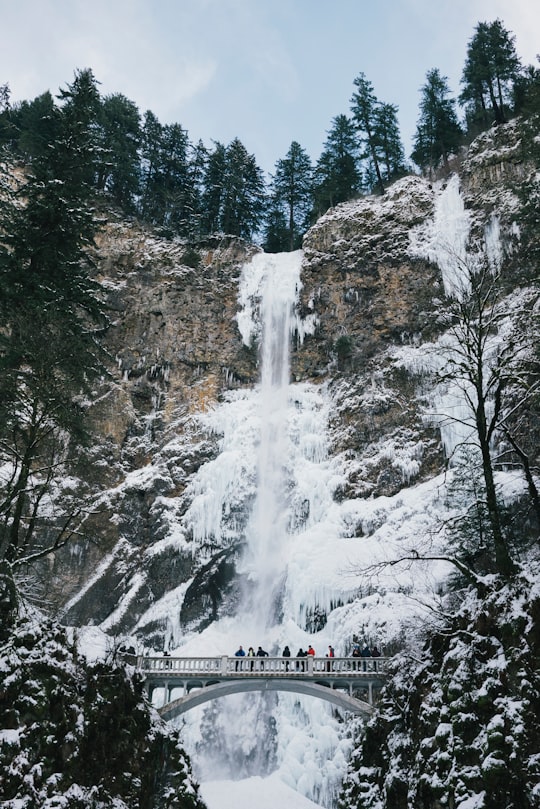
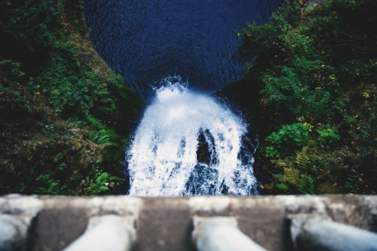
15 - Benson State Recreation Area
46 km away
Benson State Recreation Area is a state park in the U.S. state of Oregon, administered by the Oregon Parks and Recreation Department.
Learn more Book this experience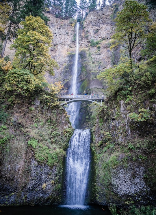
16 - Beacon Rock State Park
46 km away
Beacon Rock State Park is a geologic preserve and public recreation area on Route 14 in the Columbia River Gorge National Scenic Area in Skamania County, Washington, United States.
Learn more Book this experience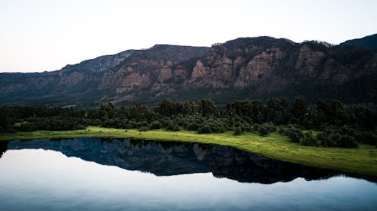
Disover the best Instagram Spots around Government Camp here
Book Tours and Activities in Government Camp
Discover the best tours and activities around Government Camp, United States and book your travel experience today with our booking partners
Plan your trip in Government Camp with AI 🤖 🗺
Roadtrips.ai is a AI powered trip planner that you can use to generate a customized trip itinerary for any destination in United States in just one clickJust write your activities preferences, budget and number of days travelling and our artificial intelligence will do the rest for you
👉 Use the AI Trip Planner
Where to Stay in Government Camp
Discover the best hotels around Government Camp, United States and book your stay today with our booking partner booking.com
More Travel spots to explore around Government Camp
Click on the pictures to learn more about the places and to get directions
Discover more travel spots to explore around Government Camp
Extreme sport spots ⛰️ Highland spots 🌋 Stratovolcano spotsTravel map of Government Camp
Explore popular touristic places around Government Camp